Te Hākari Wetland monitoring
Horowhenua students enjoyed their time monitoring and learning about the Te Hākari Wetland. Located on Te Iwi o Ngati Tukorehe land on the west coast near the Ohau River mouth; the wetland is part of a larger wetland system, thought to be the remnants of an ancient Ohau River mouth. Their investigation was facilitated in partnership with Associate Professor Huhana Smith (PhD.) Head of School of Art, College of Creative Arts, Massey University; General Manager, Kelly Bevan and Education Manager Lindsay Poutama of Te Iwi o Ngati Tukorehe.
It was a stellar day expertly led by Rangimarkus Heke - karakia and mihi whakatau; Huhana Smith- Waiata and kaiarahi / guide; Donny Johns also kaiarahi/guide. Rangimarkus and Donny both work for Ngā whenua Rahui (Maori subsidiary of Department of Conservation).

Students learnt that Te Hākari and all these related dune wetlands are a huge wetland resource. The main sources of water in the wetland were rainfall and shallow groundwater, each providing approximately half of the early water recharge, making Te Hākari Wetland a “groundwater dependant ecosystem”.
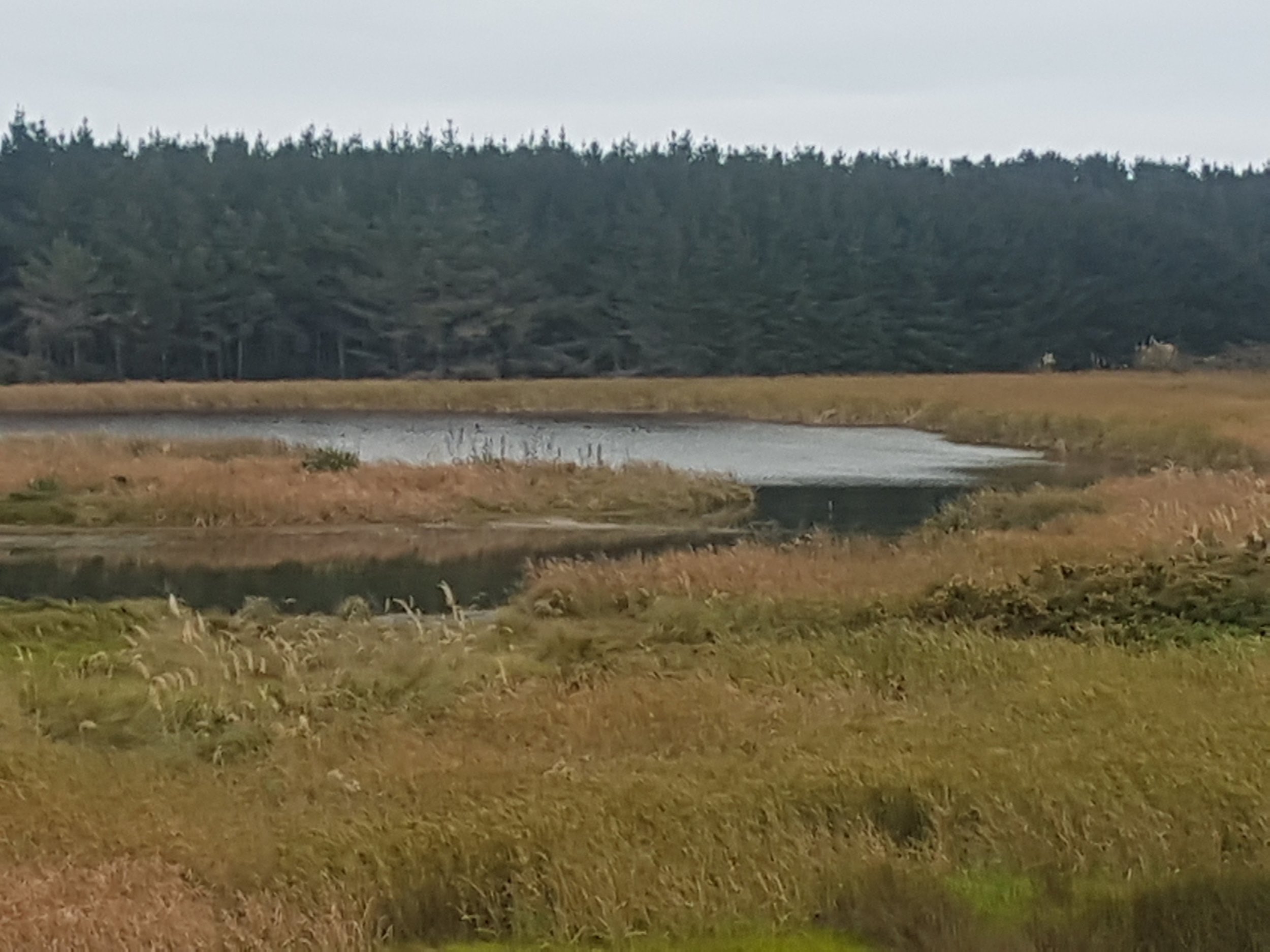
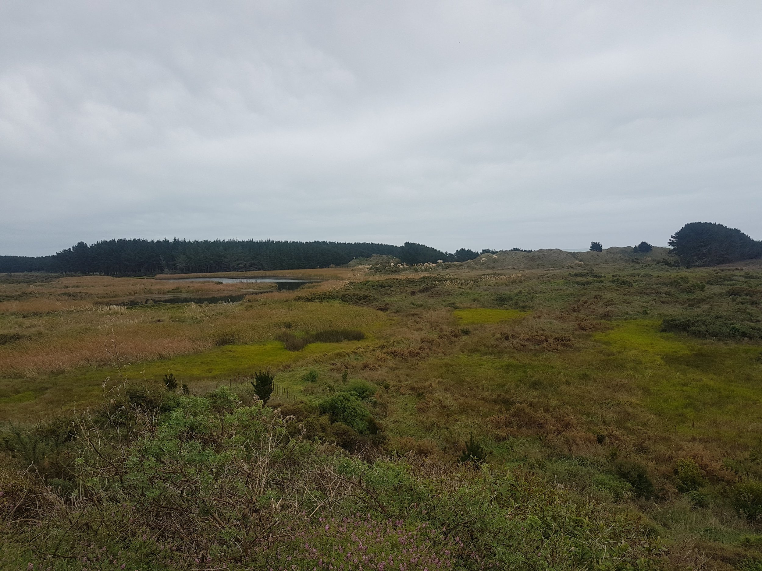
Like most lowland wetlands in the region, this wetland system has been modified by the combined actions of clearance, drainage, intensive farming and the effects of introduced plants and animals. Recognising these pressures and the ecological and cultural significance of the wetland, Te Iwi o Ngati Tukorehe initiated a programme to restore the wetland to its past splendour. A series of initiatives started in 2002 include an ecological restoration plan developed by Wildland Consultants, and restoration works (including planting, pest control and fencing).
In 2003, Horizons Regional Council was contacted by Richard Anderson, wetland restoration project manager for Te Iwi o Ngati Tukorehe. Recognising water was the life force of a wetland, Richard sought some assistance to assess the hydrological health of the wetland, to complement the ecological restoration plan.

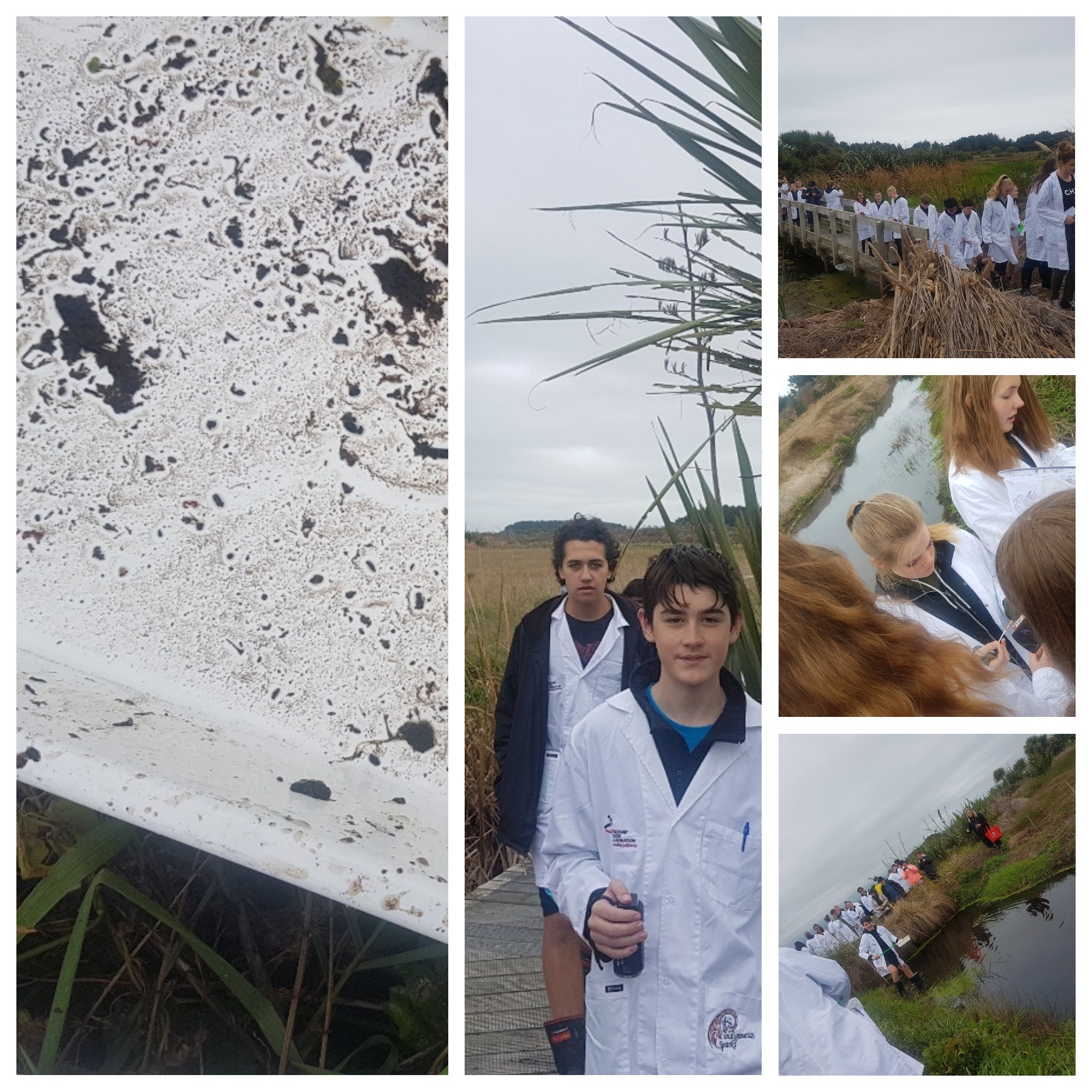
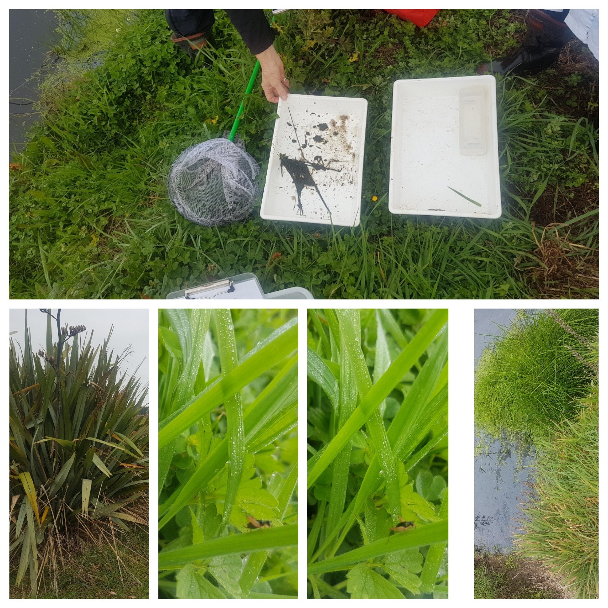
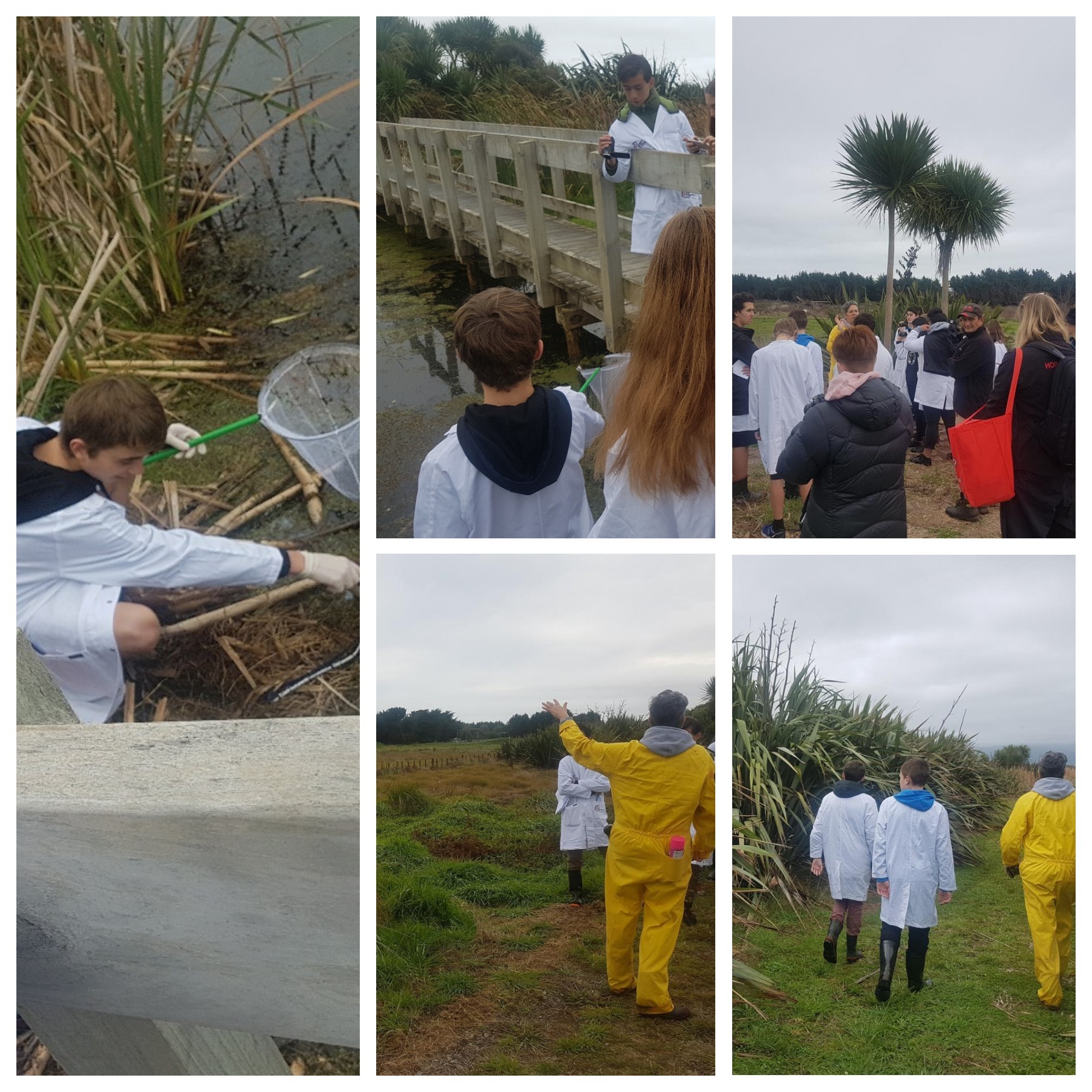
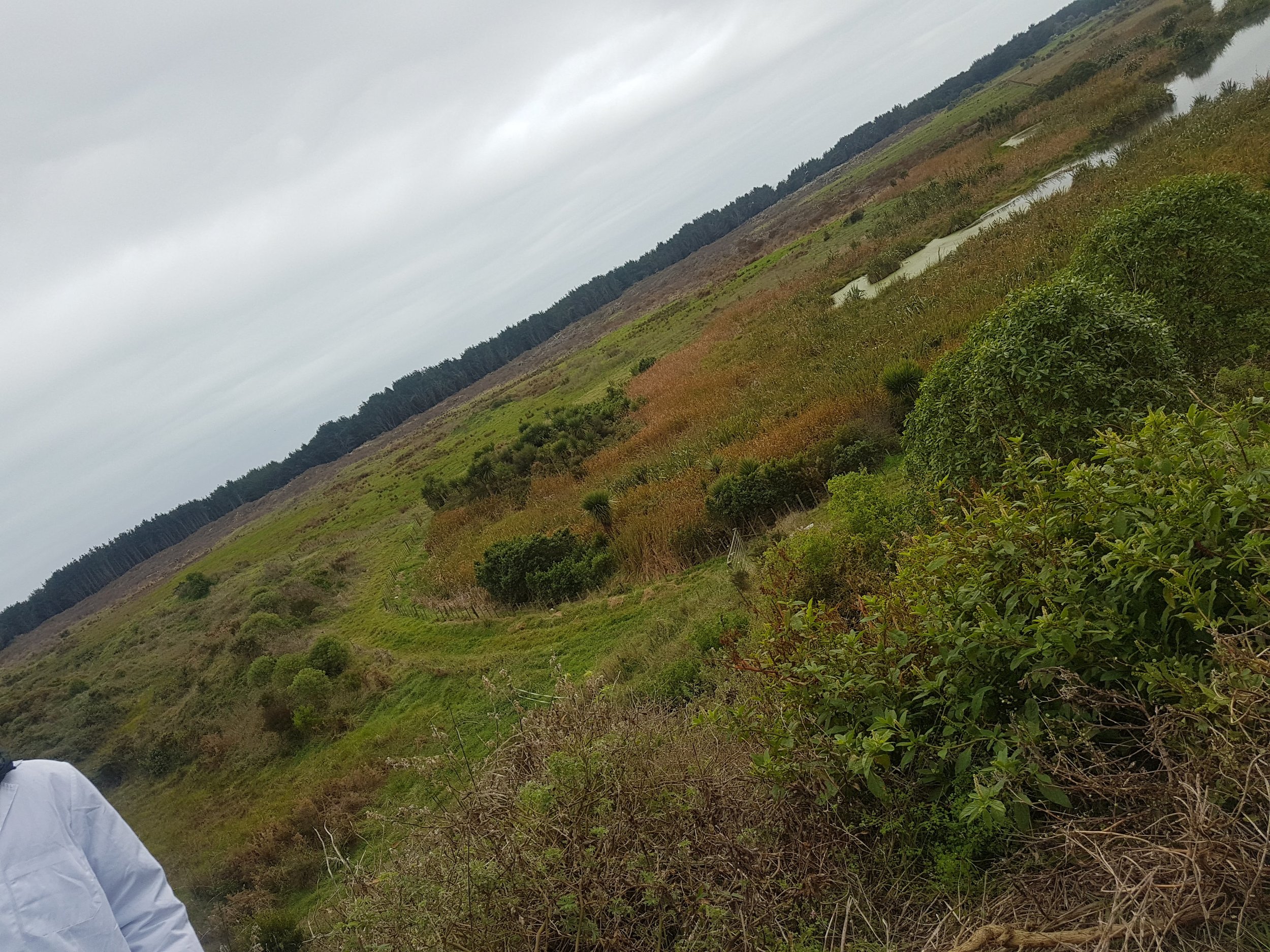
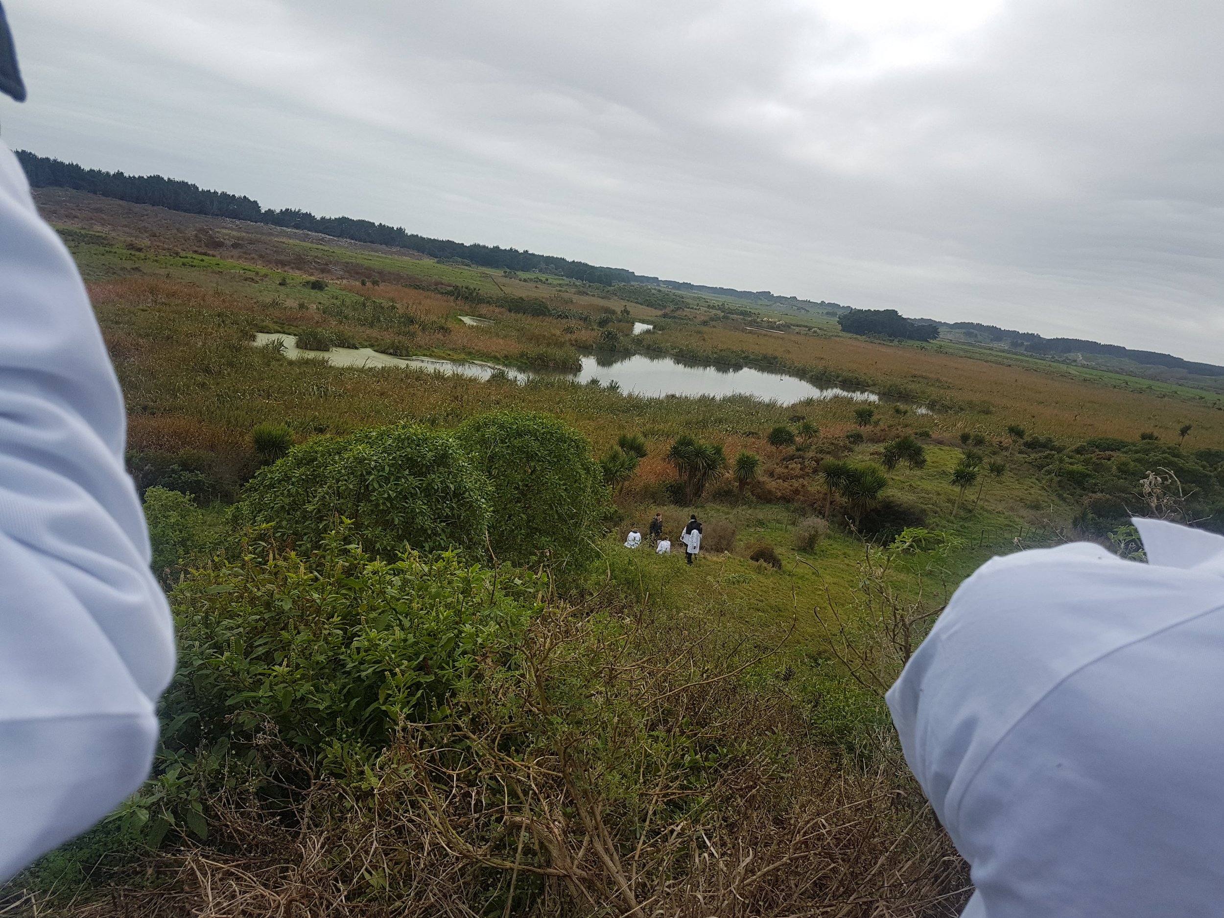
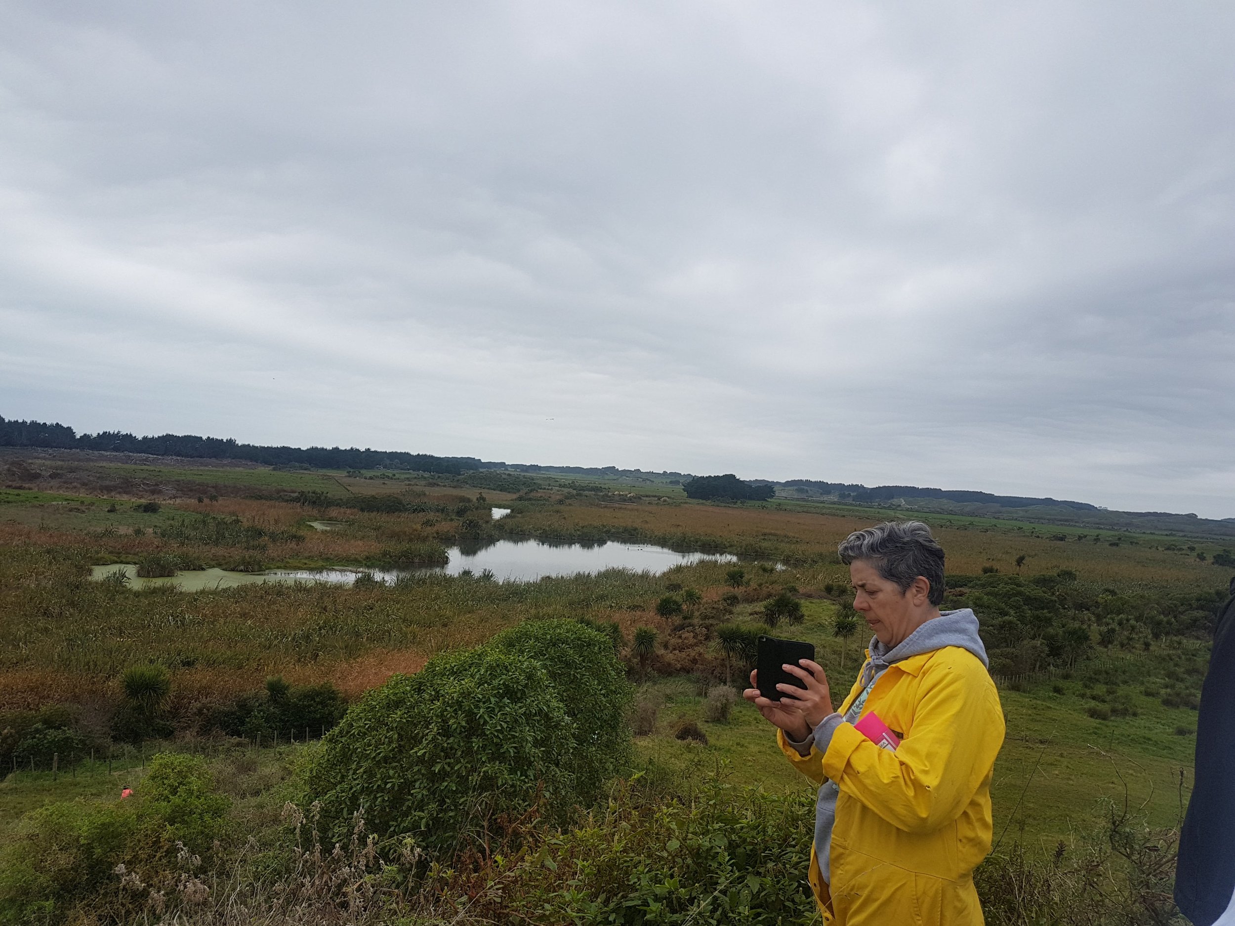
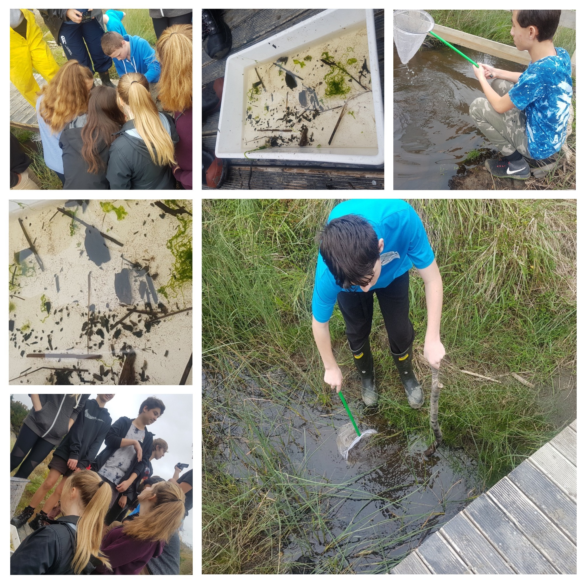
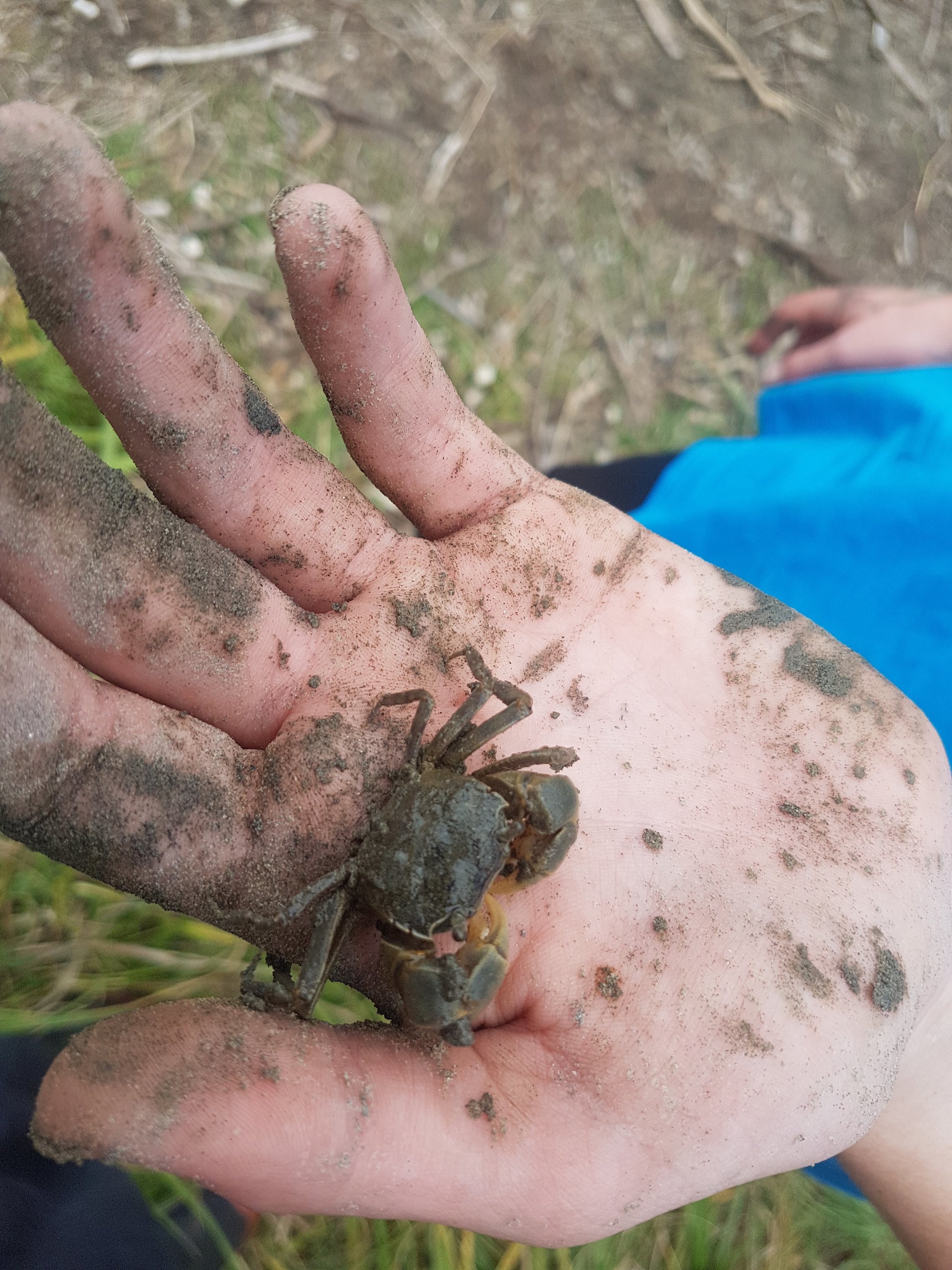
Students used their visit to assess the health of the wetland. Walking the length of the wetland, they were given a rare birds-eye view of extensive scope of the project. Students were accurately able to identify an abundant array of plant species and birdlife and conducted a range of water quality testing of the streams flowing through the wetland. They also tested streams closer to the river compared to those in the wetlands to identify the macroinvertebrate populations.

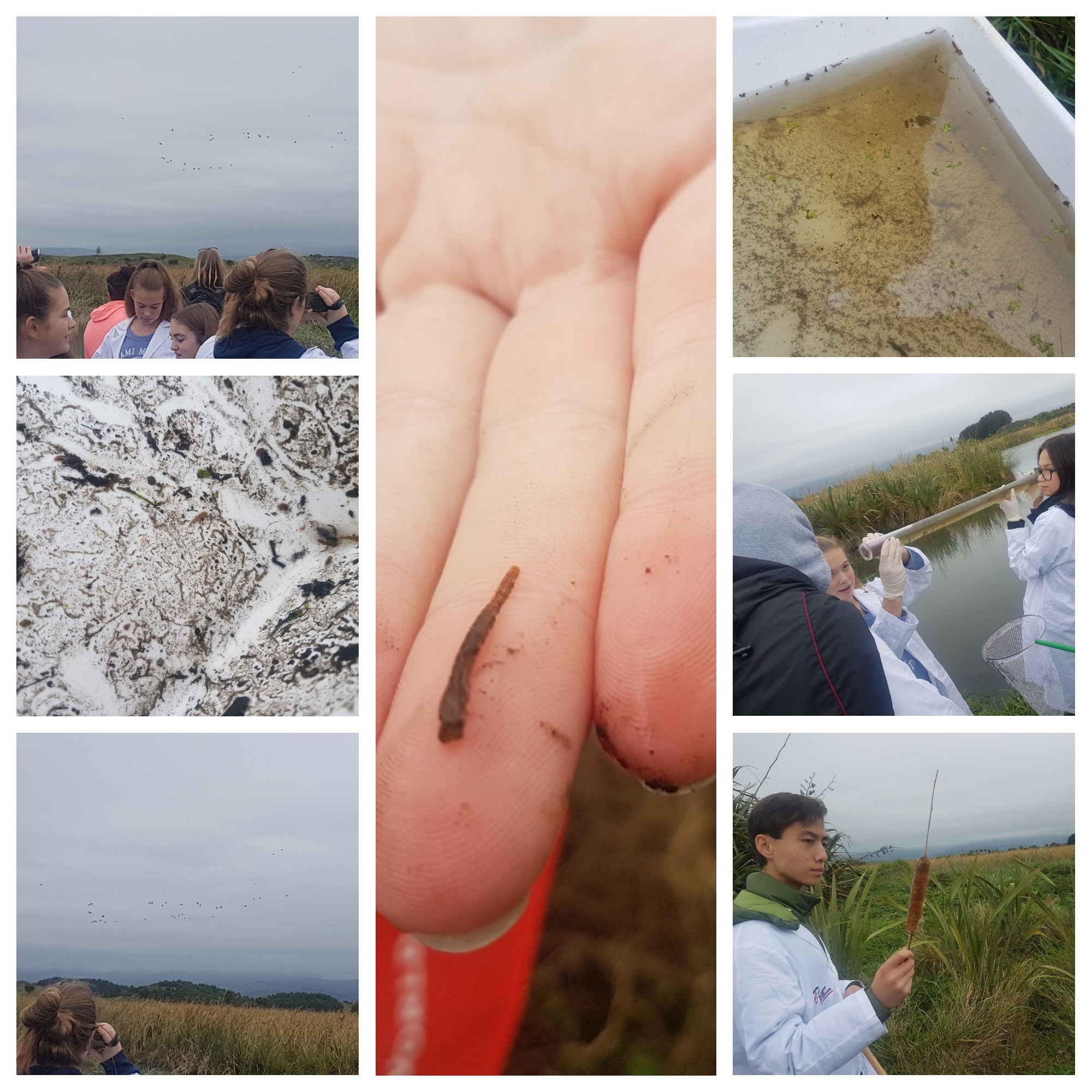
An exciting discovery for the students were trying to locate piezometers- established as part of a monitoring and sampling program. Students were informed that the location of the sampling sites was designed to include the wetland surface water, the water going into (groundwater) and the water going out of (groundwater and surface water stream and drain) the wetland.
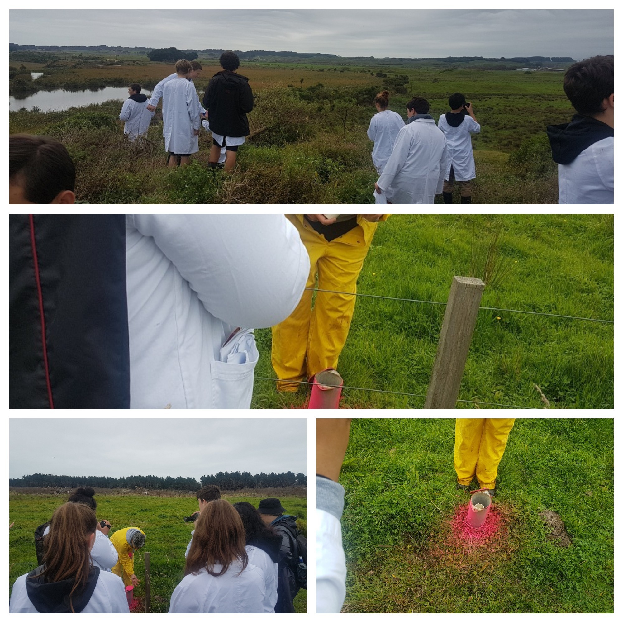
Piezometers are used for measuring pore pressures in ground. Pore pressure has fundamental importance to understanding ground behaviour, before—during—and after construction.

The location of the sampling sites at the wetland was designed to include the wetland surface water, the water going into (groundwater) and the water going out of (groundwater and surface water stream and drain) the wetland. To monitor the quality of the groundwater flowing into the wetland, samples from these bores are routinely tested for: wetland trophic status: (Nutrients (N and P) and algae; density (Chlorophyll a) in pond and outflow drains); Ammonia levels.
“http://www.geo-observations.com/piezometers/”

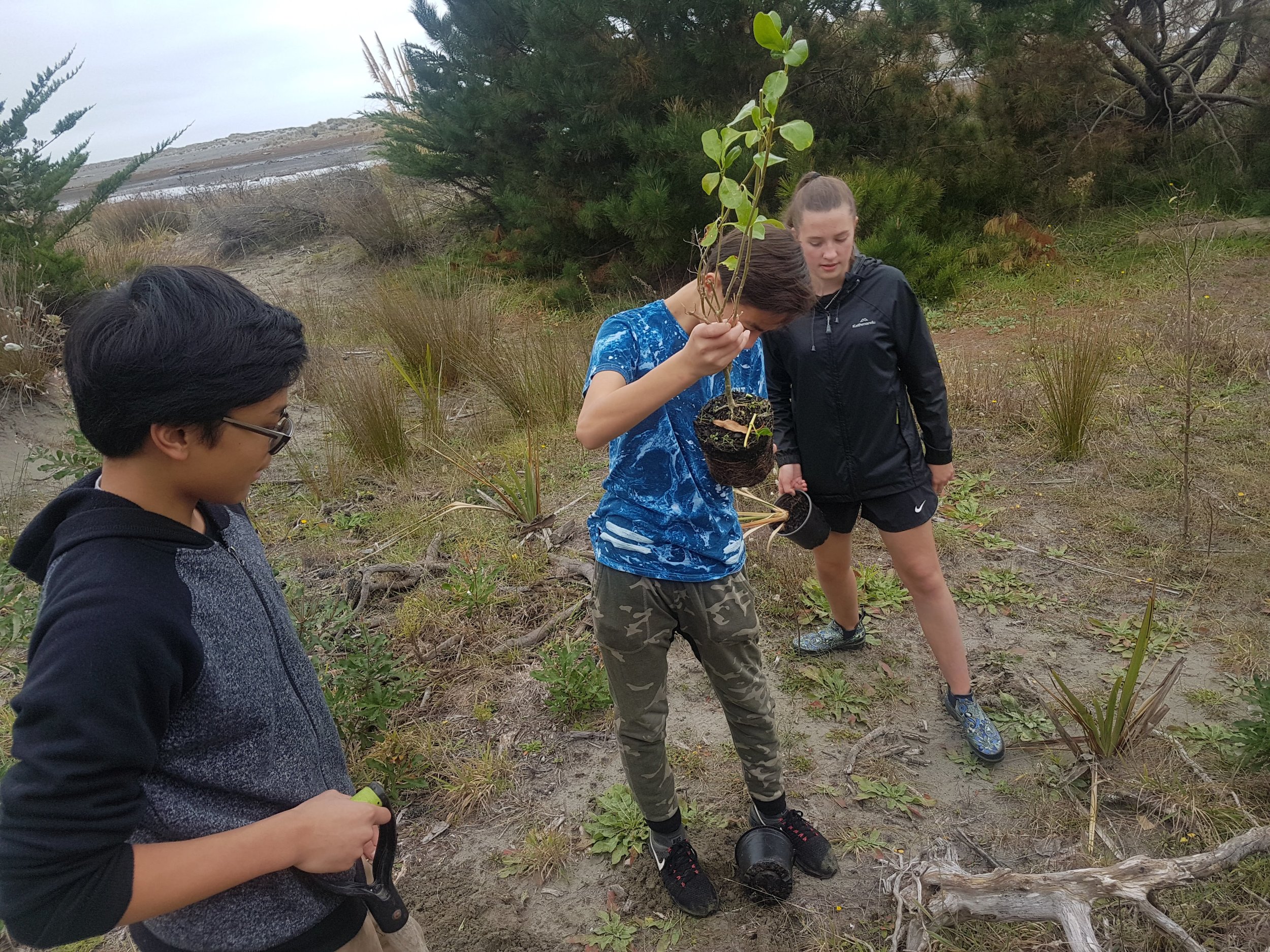
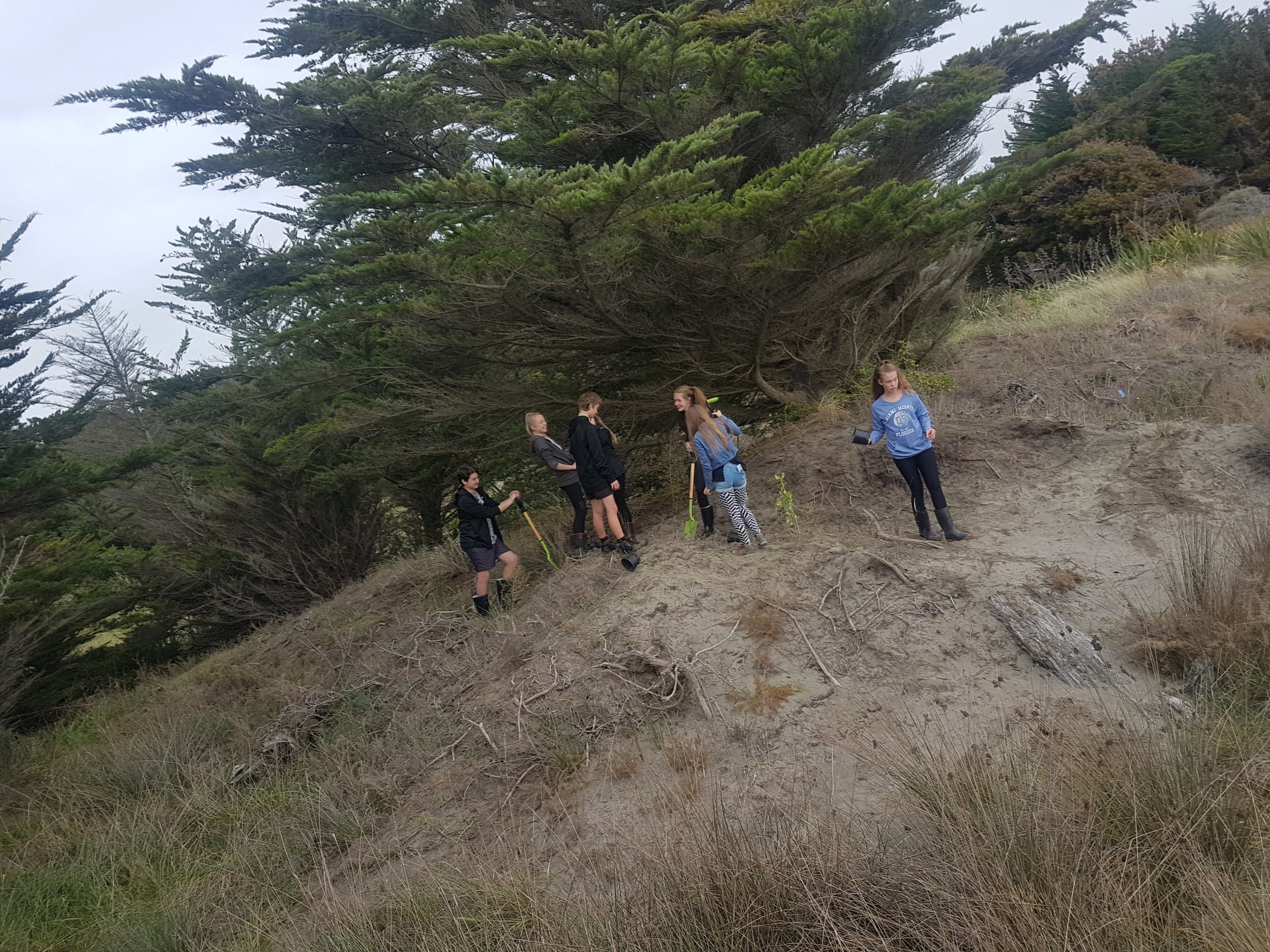
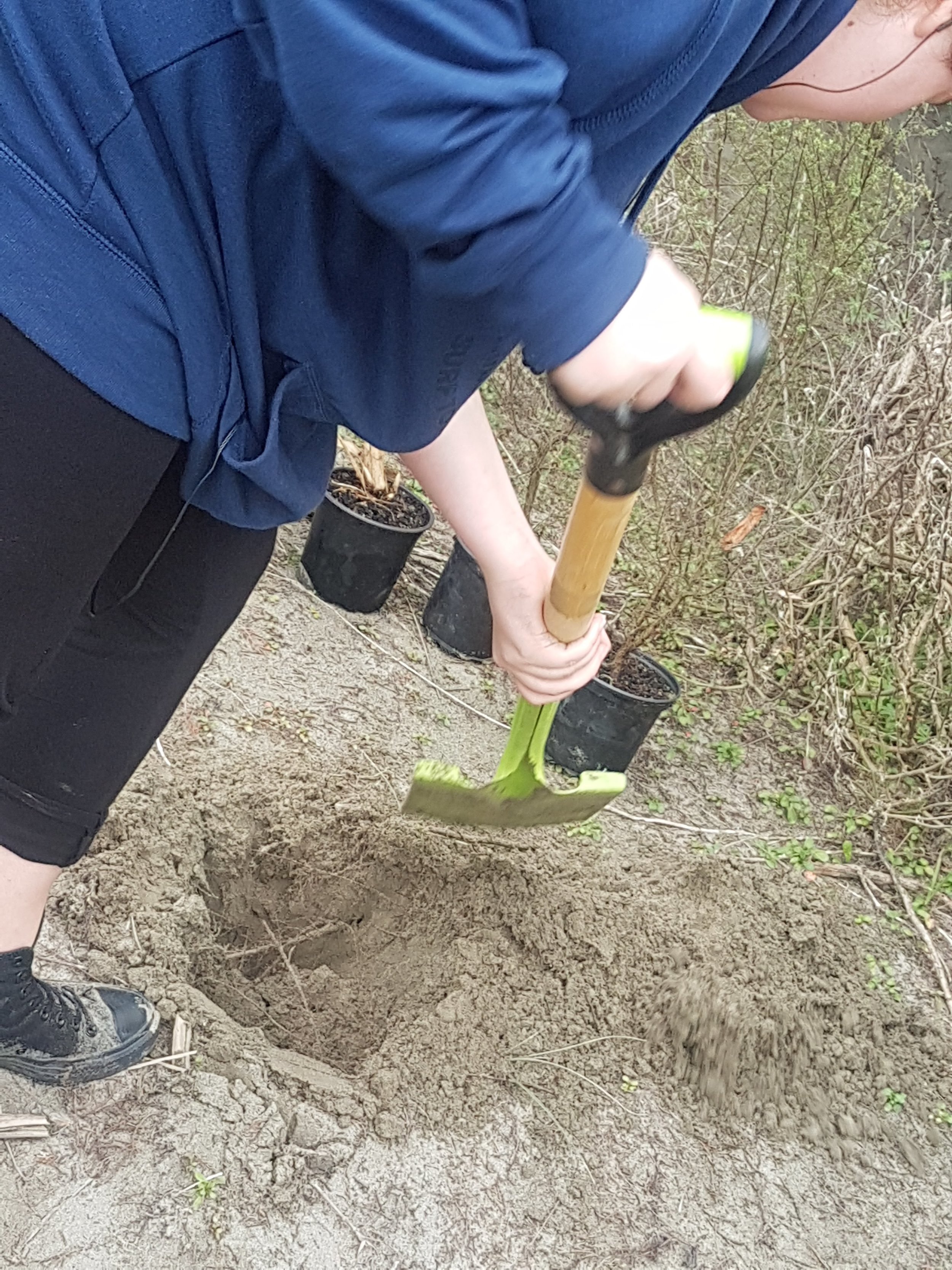
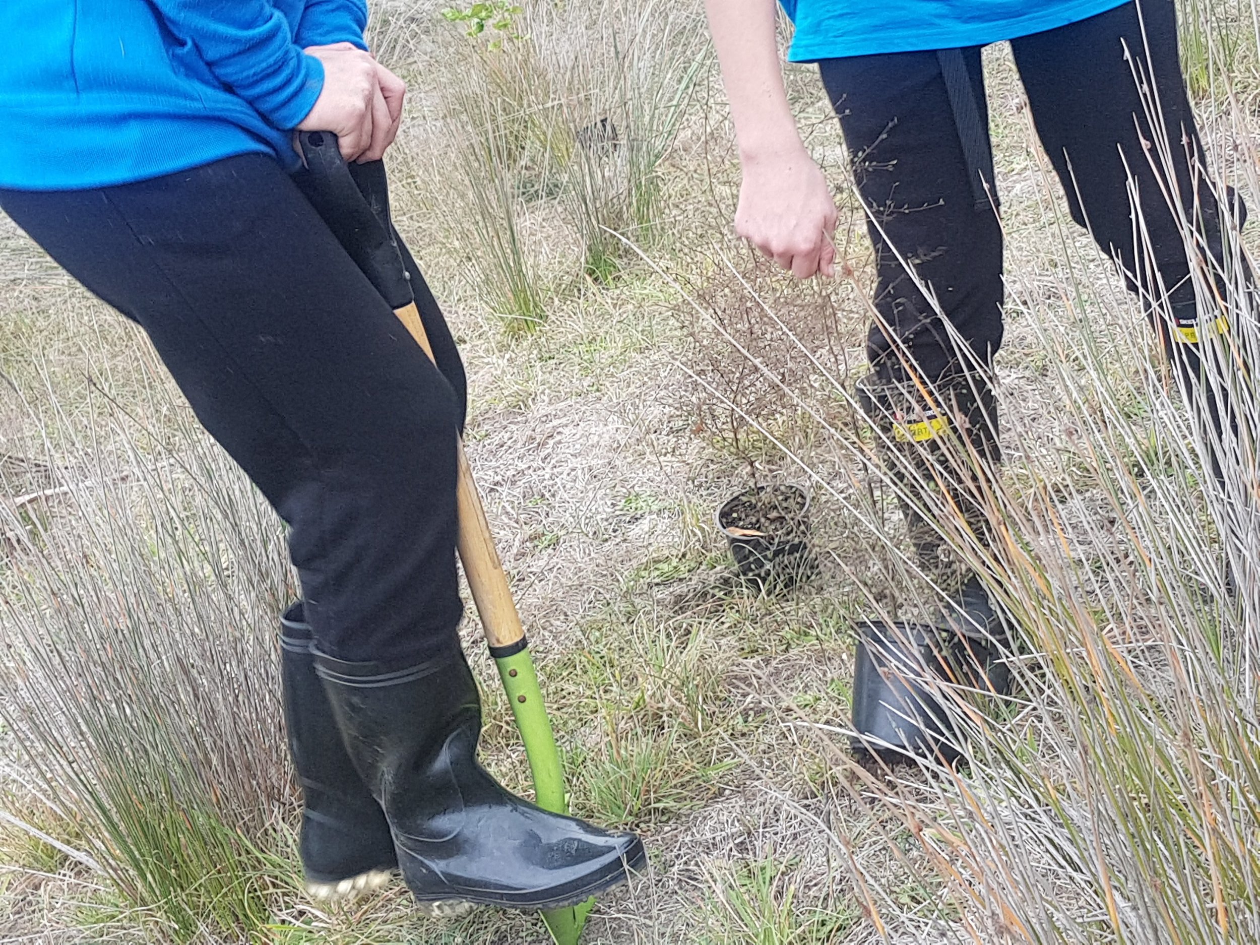
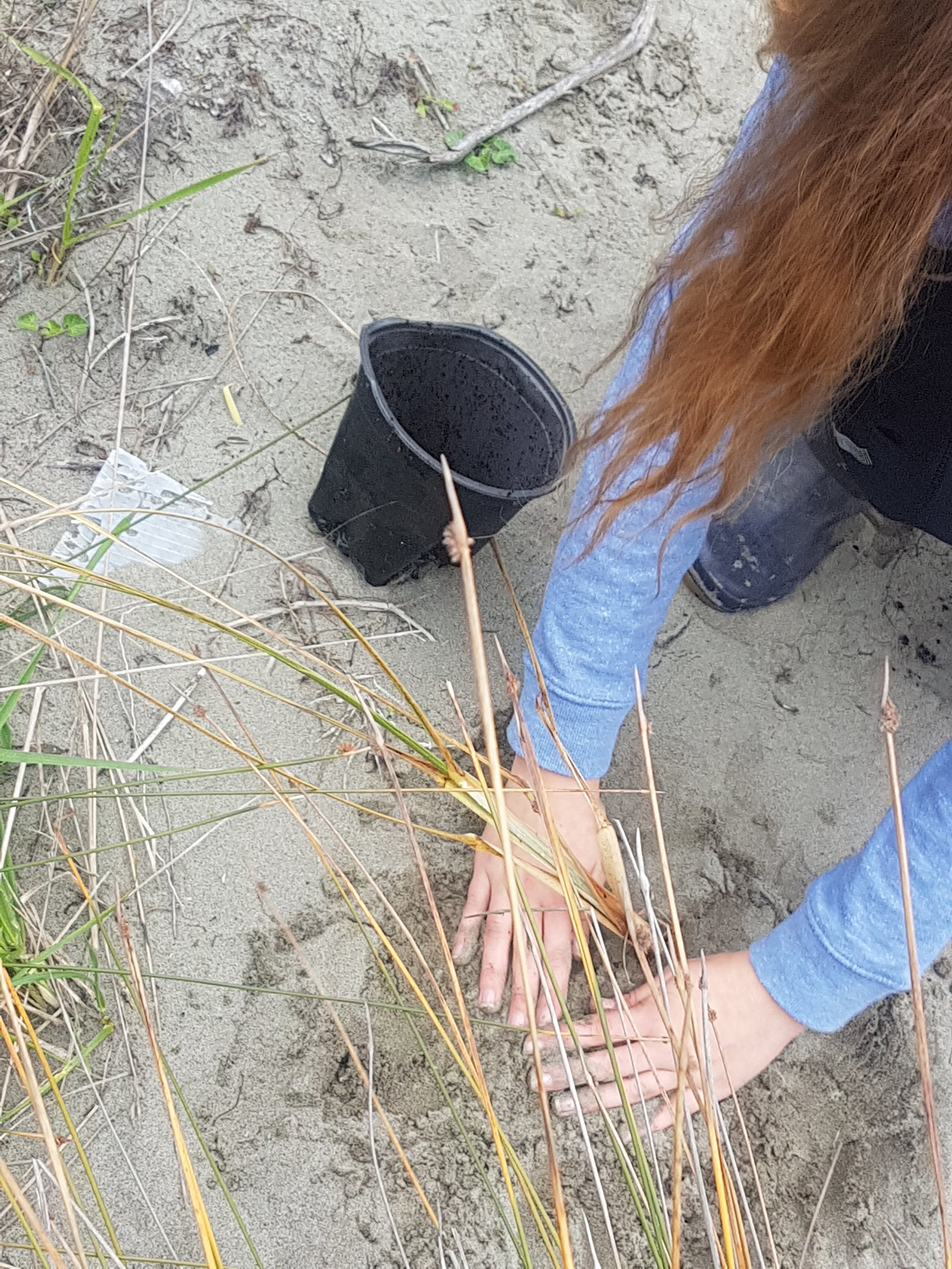
Sand dune planting
The group ended their day planting hundreds of native trees along the kuku beach. The effort expended was well appreciated by the iwi group as together we each play our part in protecting our environment.