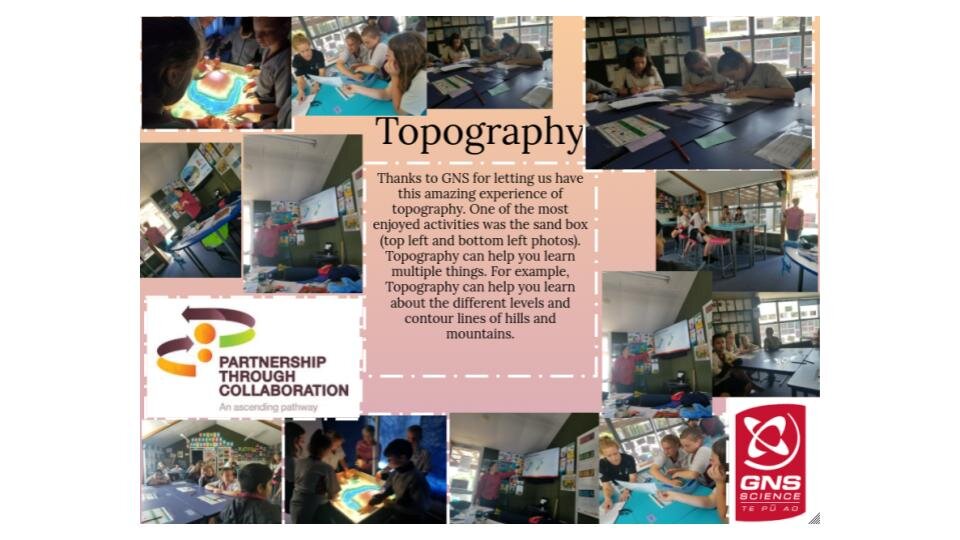
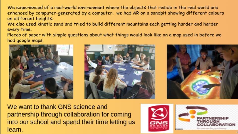
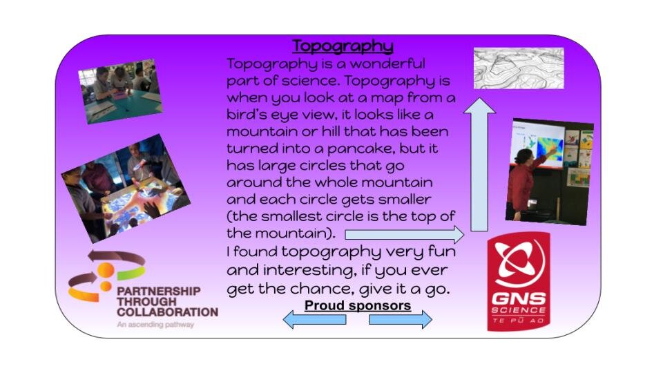
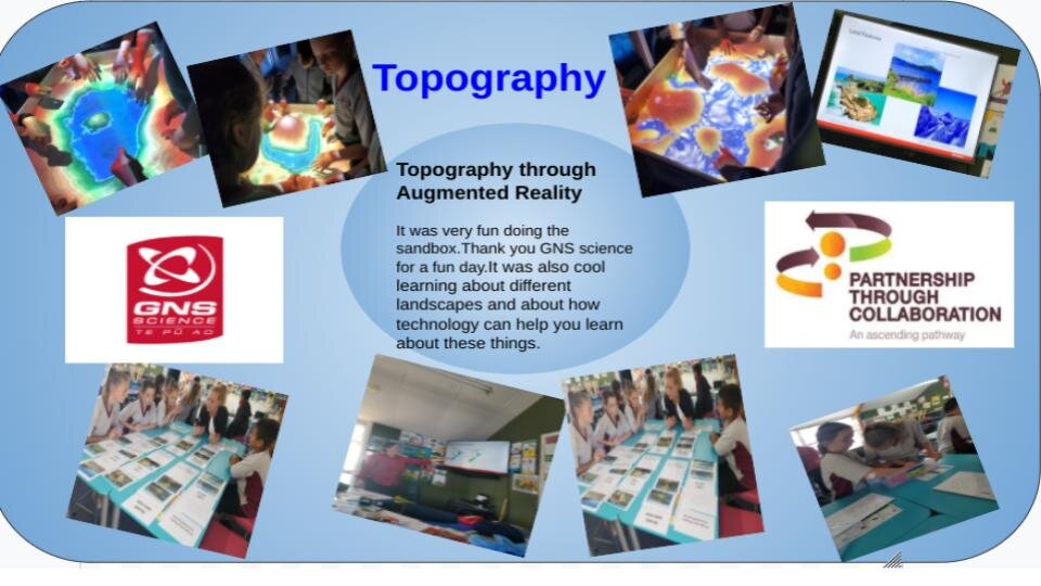
Communicating Augmented Reality- Bay of Plenty region
.Topographic maps are detailed, accurate graphic representations of features that appear on the Earth’s surface. These features include:
• Cultural: roads, buildings, urban development, railways, airports, names of places and geographic features
• Hydrography: lakes, rivers, streams, swamps, tidal flats
• Relief: mountains, valleys, slopes, depressions
• Vegetation: wooded and cleared areas, vineyards and orchards.
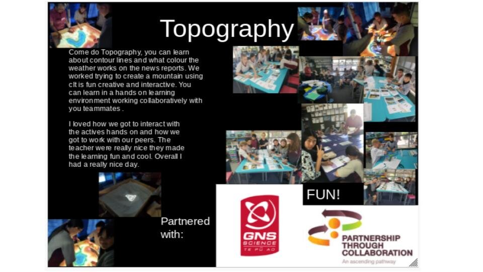
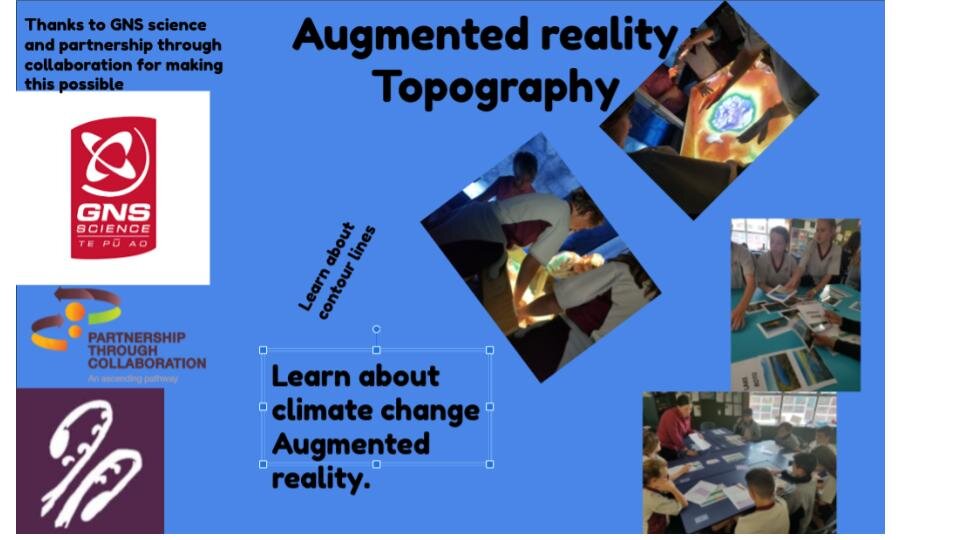
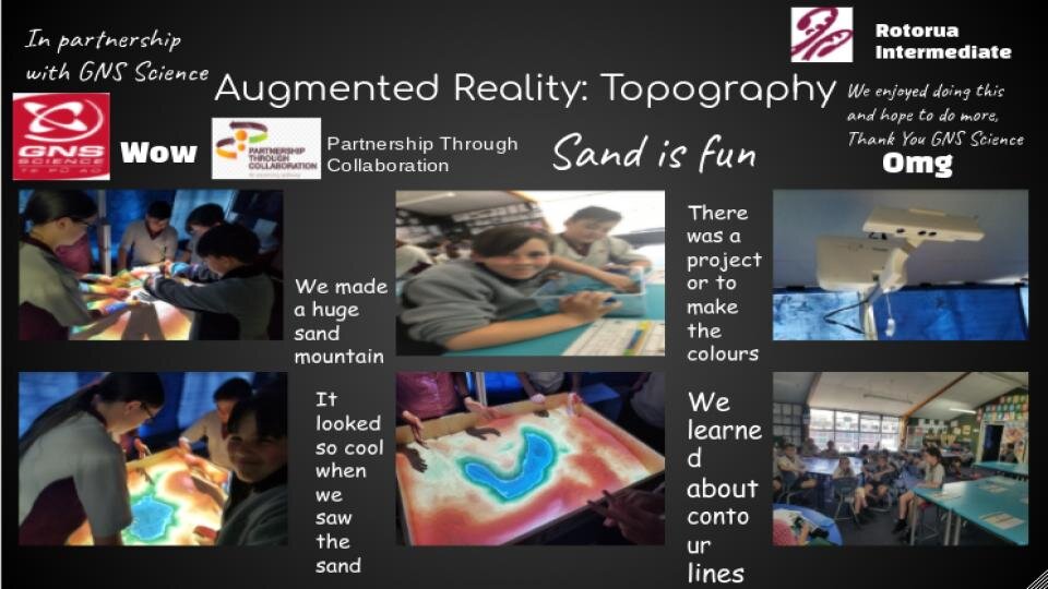
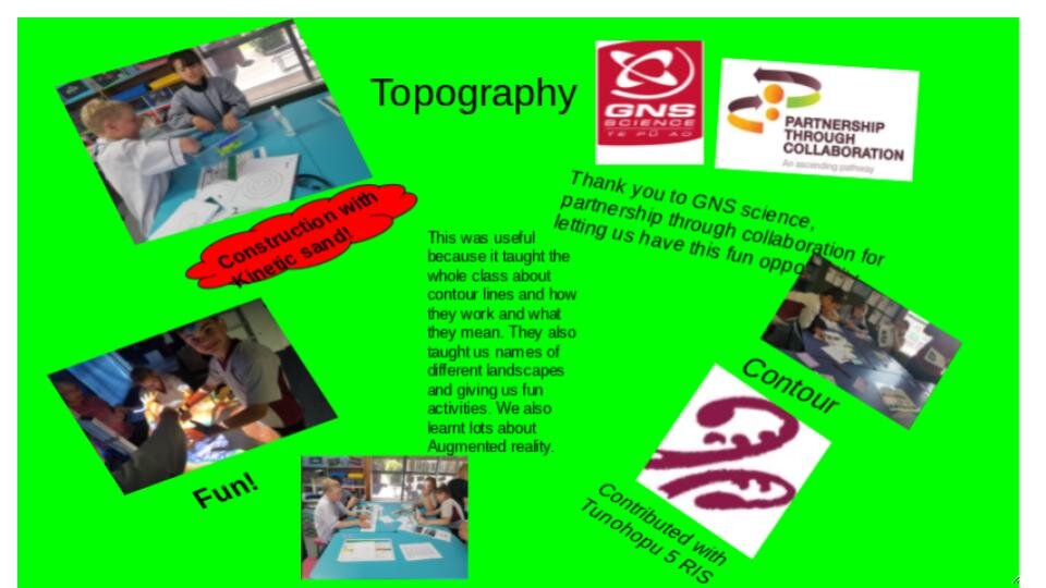
The level of detail shown on a map depends on the scale of the map; small scale maps are less detailed than larger scale maps. Our youth not only enjoyed learning about topographic maps; they thoroughly engaged in creative displays to inform their whanau, school and wider community about them.